Altoona & Surrounding area Rivers

Displaying weather data, water levels, discharge rates, and whether water levels are currently suited for paddling!

Juniata River

34

Its friggin cold

img

Current Water Level:

Current Discharge:

High Enough to Paddle!

USGS Data

Frankstown Branch of Juniata

34

Its friggin cold

img

Current Water Level:

Current Discharge:

High Enough to Paddle!

USGS Data

West Branch of Susquehanna

34

Its friggin cold

img

Current Water Level:

Current Discharge:

High Enough to Paddle!

USGS Data

Sinnemahoning Creek

34

Its friggin cold

img

Current Water Level:

Current Discharge:

High Enough to Paddle!

USGS Data

Little Juniata

34

Its friggin cold

img

Current Water Level:

Current Discharge:

High Enough to Paddle!

USGS Data

Spring Creek

34

Its friggin cold

img

Current Water Level:

Current Discharge:

High Enough to Paddle!

USGS Data

Everett Juniata

34

Its friggin cold

img

Current Water Level:

Current Discharge:

High Enough to Paddle!

USGS Data

Locations to Put In and Take Out

Green marker = Put in
Red marker = Take out
Juniata River GPS

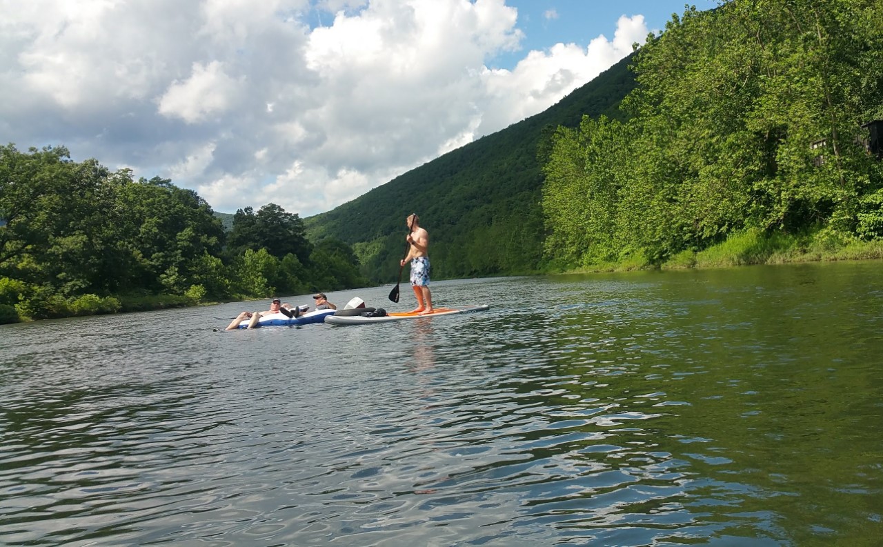
1-2 hour paddle/float. Smooth water great place to swin and fish. Suited for beginner paddlers.


Frankstown Branch River GPS

2 hour paddle. Only a couple of mildly tricky areas. Rails to trails! Suited for beginners.

West Branch Sussquehana GPS

5 hour paddle. This is where we host the annual paddle trip! Very scenic with only a few tricky areas. Suited for beginners.

Sinnemahoning Creek GPS

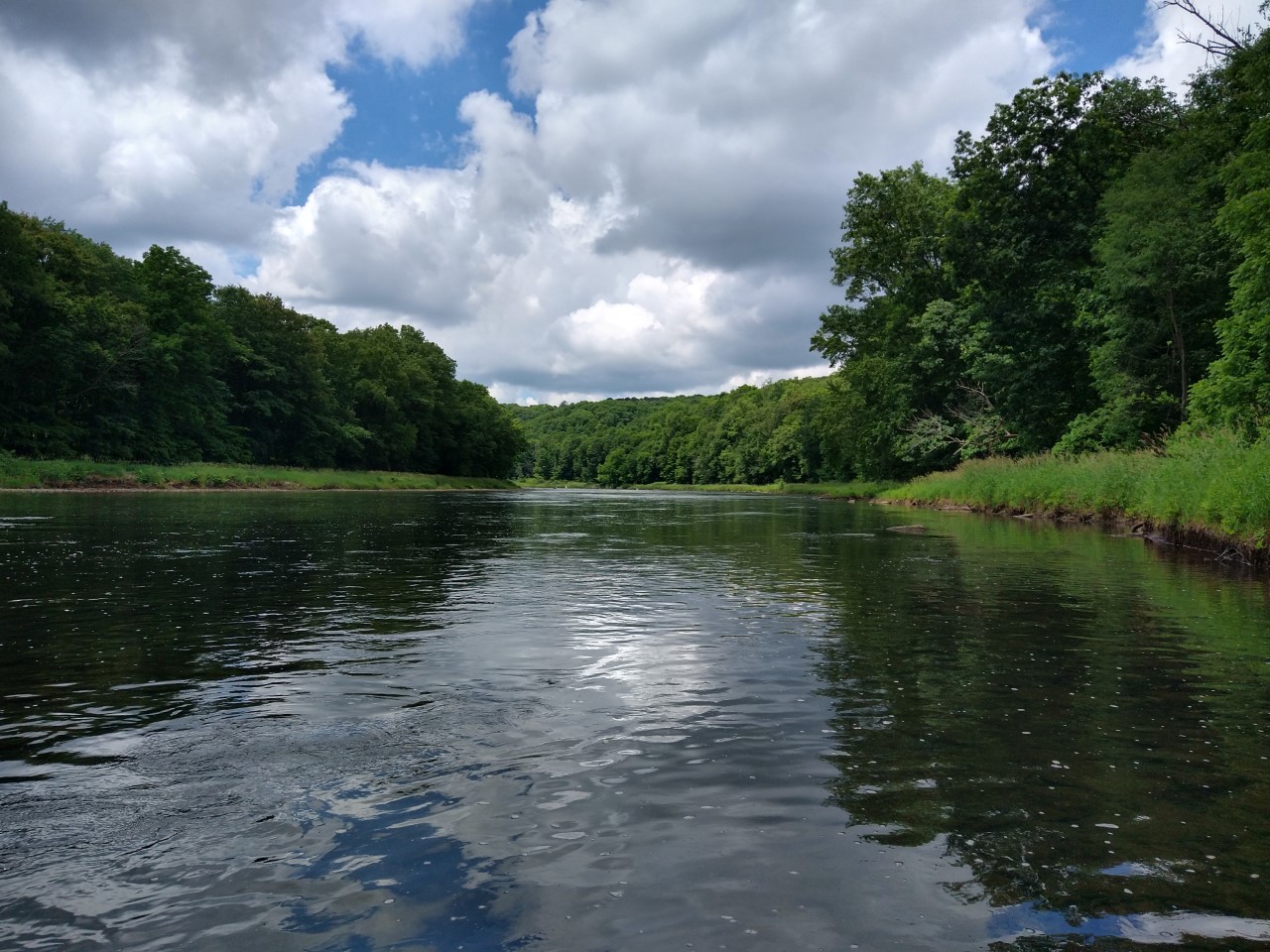
2 hour paddle. By far the most scenic water trail. Mostly smooth water suited for beginners.

Little Juniata GPS

1 hour paddle. There are a couple tricky sections with class 1 and 2 rapids depending on guage.

Spring Creek GPS

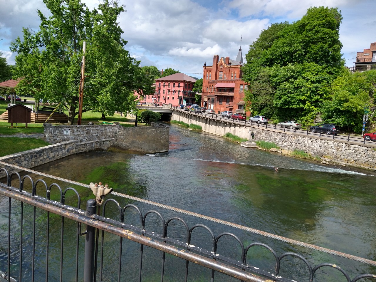
1 hour paddle. Fun and challenging Class 1 and 2 rapids! Water is fed by spring so it can be paddled all year.

Everett Juniata GPS

2-3 hour paddle depending on water level. Perfectly suited for beginner paddlers.